
Mauritius is such a small country that only stretches across an area of 2,040km², there are no trains or trams on the island. On the other hand, because Mauritius is so tiny, it’s surprisingly easy to get around: in fact, you can actually travel from the North to the South of the island in just three to four hours. We’ve made getting around Mauritius even easier for you. Check out the guide below!
Roads in Mauritius
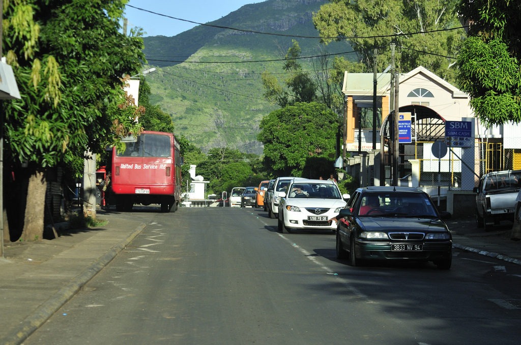
The island has quite a clear network of roads, with the three main ones being:
- M3, which links Terre Rouge to Verdun in the North, passing through Port-Louis, the capital
- M2, which links Port Louis to the tourist village of Grand Baie, in the North of the island
- M1, which links the airport in the South East to Port Louis. This is the most important road on the island since it also passes through the largest cities of Curepipe, Vacoas, Quatre-Bornes, Phoenix, Beau-Bassin Rose Hill and Mika.
The roads in Mauritius stretch across an expanse of around 2,100 kilometres, with around 4% of it dedicated only to the motorways which fork out in smaller secondary roads.
Modes of transportations in Mauritius
Taxis
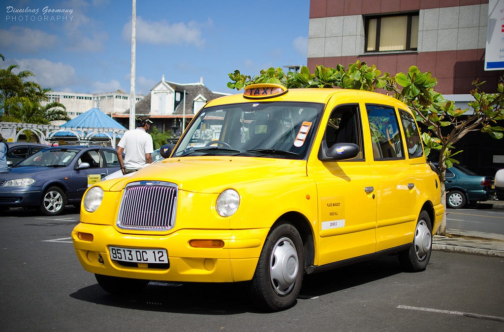
The easiest (and fastest) way to go around Mauritius is by car. Most Mauritian households have cars to get around but some people prefer to travel by motorcycles that can very easily snake through the traffic. If you stay in a villa in Mauritius, you can easily arrange a car and driver to take you around the island.
Taxis are available in every corner of the island and in front of every major shopping mall, but these can be quite expensive. Mauritian taxis do not come with meters, so the price is normally established by the driver. Be sure to ask for the price beforehand. It is also advisable to avoid hotel taxis since these can be notoriously expensive.
Buses
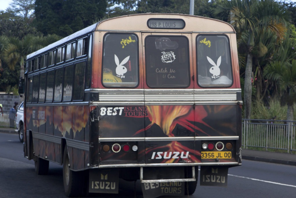
The cheaper and primary mode of public transportation on the island is by bus. You will see several sheltered bus-stops on every road of the island. The transport schedule generally depends on the bus route, but in most cases, you can expect a bus to go by every 10 to 30 minutes. While there is no bus app in Mauritius, you can check mauritius-buses.com for schedules. However, the website is not entirely reliable, so locals often prefer to check the schedule directly with the station master. At some bus stops, the different bus routes and times can be found plastered on the wall. There are no bus passes in Mauritius, but tickets can run between 30 to 60 MUR.
Related: Understanding Mauritius weather – The best time to visit Mauritius
Bicycles
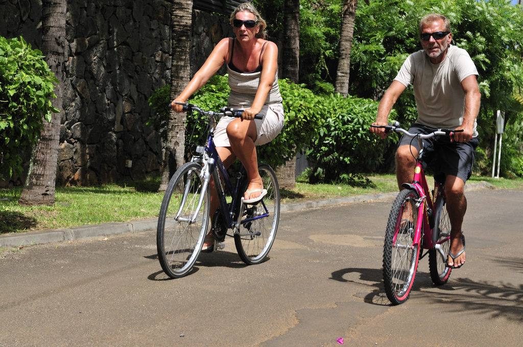
In remote villages, locals also get around by bicycles. This is something you might want to do if you love enjoying Mauritius sceneries at your own pace. The majority of hotels do offer bicycle rentals on a daily or weekly basis. The bikes can range between 800 to 1500 MUR per day.
Best (and worst) hours to travel
Because the roads are quite properly laid-out, congestion in Mauritius isn’t an issue, except during peak hours and in areas that are heavily populated by office buildings. The capital of Port-Louis, for example, houses the Supreme Court as well as some of the most important buildings belonging to the Public Sector. Because it is such a small city, it does get extremely congested before and after working hours (8am – 9am and 4pm – 5pm). Similarly, it’s best to avoid the city of Ebene, another business hub, on weekdays, during those same hours.
Featured image: shankar s. on Flickr
")


Comments are closed.